Northbound Part 4: Quezon City to Caloocan (Santa Mesa Bridge to Libis Baesa)
The Quezon City section of Skyway Stage 3 is probably one of the most ambitious new roads in the Philippines today, even if the San Juan River section is a bit more visually spectacular.
In order for the segment to exist:
- maximized usage of a small boulevard right-of-way from SM Centerpoint all the way to Balintawak
- two sets of double-deck portions: the Quezon Avenue ramp landing and the Del Monte toll plaza
- tight curvature at Sgt. Rivera and A. Bonifacio
This section will cover pretty much the final 10km from Santa Mesa to Libis Baesa. All screenshots are from https://www.youtube.com/watch?v=eeUhjxKFJ1c except for the Libis Baesa/NLEX split.
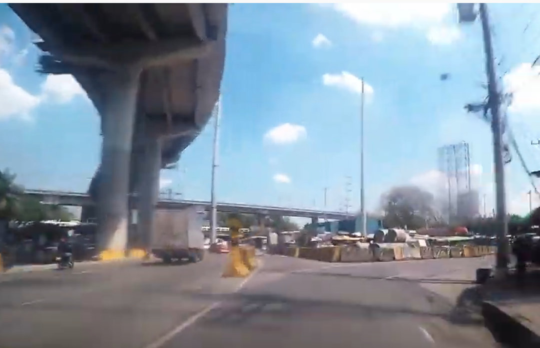
26.545 kilometers/16.49 miles north of Susana Heights
Santa Mesa Bridge onramp along G. Araneta Avenue


The first of three northbound onramps along G. Araneta Avenue, this one is not yet built but will provide a link from San Juan to points north.
I selected Balintawak as the control destination for this ramp to save space and also to emphasize that at this point, the Skyway is primarily serving local point-to-point traffic.
Exit 29, Quezon Avenue (to Sampaloc via Espana Boulevard, Tomas Morato/Timog, Diliman, Cubao via Timog Avenue)
28.56 kilometers/17.75 miles north of Susana Heights


The most congested interchange on all of SS3 (due to narrow ramp right-of-way and a poor ramp landing configuration at G. Araneta), Quezon Avenue was the first Quezon City exit to open when Stage 3 mainline became operational in late December 2020.
While SMC has used cones to create a temporary collector/distributor lane setup, it seems the ramp won't have its own dedicated auxiliary lane once the road configuration is finalized in that area.
Advanced signage for the Del Monte toll plaza and the Sgt. Rivera exit also added here.
Toll plaza signage based on MUTCD black-on-yellow guidelines: https://mutcd.fhwa.dot.gov/htm/2009/part2/part2f.htm
30 kilometers/18.64 miles north of Susana Heights
Northbound onramp landing from Quezon Avenue


Three long distance destinations: one in Bulacan, one in Pampanga, and then one ultra-long-distance one which has sometimes been used as a control city for NLEX in the past. Also added a second advanced sign for the Del Monte toll plaza.
31 kilometers/19.26 miles north of Susana Heights
Del Monte Toll Plaza


This area needs some signage help - and badly. Lane markings that have the gore points too close to large support columns and a somewhat unintuitive layout are issues here. Low speed limit signage (like one would see at a toll plaza in California) would help immensely in getting drivers to be more alert here, as well as every-100m alert signs not dissimilar to what is currently used for the Quezon Avenue and A. Bonifacio offramps.

After the toll plaza itself, a new pullthrough sign with longer-distance destinations (Bocaue and San Fernando) now that Balintawak is two exits away. Port of Manila is listed as a possible destination from the Sgt. Rivera exit (due to 5th Avenue leading west towards Mel Lopez Boulevard) - San Miguel Corporation has shown a concept of an expressway connector from here towards the Caloocan Interchange and into the Harbor Link route.
Exit 32, Sgt. Rivera (to Caloocan via 5th Avenue, Santa Cruz in Manila via A. Bonifacio Avenue)
32.3 kilometers/20.32 miles north of Susana Heights


One of two exits on Skyway Stage 3 in which the street the exit is named for isn't really the best possible choice. In this case, while Sgt. Rivera Avenue is accessible via the ramp to A. Bonifacio, the main ramp actually feed more directly into 5th Avenue in Caloocan, so having that city listed as the main control destination is logical.
First next-exit sign for A. Bonifacio here. Balintawak very specifically listed as control destination (unlike the current signage there) to make clear exactly where one is, especially with that district being mentioned in earlier signage (and already familiar to most as a NLEX and EDSA control destination as well).
33 kilometers/20.5 miles north of Susana Heights
just past the Sgt. Rivera/A. Bonifacio bend


As we get closer to the actual A. Bonifacio exit, I came up with an additional sign to alert drivers that this is also 1. the best route to Monumento and 2. the only way to access the Camachile Flyover (at the start of NLEX) from Skyway.
Exit 34, A. Bonifacio Avenue (to Balintawak Cloverleaf, Monumento, Roosevelt, Quirino Highway via NLEX, North EDSA)
33.6 kilometers/20.88 miles north of Susana Heights


One of two new exits opened in February 2021, I added EDSA notation here as that is the major road that Skyway crosses over in this area. On the left part of the gantry would be the first notation that NLEX is nearby; since Skyway is intended to continue west from Libis Baesa along the Tullahan River, the NLEX ramps get their own exit number too.
3/11/21: A pair sign concepts for A. Bonifacio Avenue north of the Skyway offramp, as NLEX itself begins with the Balintawak Cloverleaf (and the exit ramp for the Camachile Flyover):


above the Camachile Flyover


Used SMC's model of "Exit Soon To Open" (as seen at Nagtahan, E. Rodriguez, Sgt. Rivera and A. Bonifacio) to inform drivers that the mainline lanes will eventually lead to Tullahan River corridor and NMIA in Bulakan. For now, the NLEX ramp has an "All Traffic Must Exit" disclaimer. Also listed Baguio as a NLEX destination (even though it requires two more expressways to get to that area) given the usage of Baguio as a control city from Metro Manila.
35.5 kilometers/22.06 miles north of Susana Heights
near Eternal Gardens


Alerting drivers that they can take the NLEX exit to get towards the Smart Connect interchange. This is more for when the Skyway NMIA extension opens up - not sure if the NMIA extension will have any linkages to NLEX Harbor Link.
At this juncture we also break into Caloocan city limits, towards the Libis Baesa area.
Exit 36, North Luzon Expressway (NLEX) (to Bocaue, San Fernando, Angeles)
35.77 kilometers/22.23 miles north of Susana Heights
screenshot via https://www.youtube.com/watch?v=g0WIzOBwNWc


The current northern terminus of the highway, in Caloocan about 500m south of the Balintawak toll plaza. Exit Only for NLEX at this time as the Tullahan mainline is in the very early stages of construction.

Comments
Post a Comment